Lewiston Distances
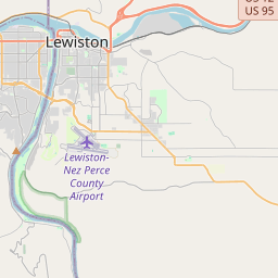
Lewiston is located in Boise city, United States at the 46.4166, -117.0177 coordinates. Distance from Lewiston to other cities. are listed below, click on the city name to find distance between. Distance from Lewiston to Nampa 322 km, to Meridian 316 km, to Idaho Falls 511 km. The green marker indicates the location of Lewiston.


Leaflet | © OpenStreetMap
Distance Between Lewiston and Cities
List of distances from Lewiston to United States cities.
| City | Distance to Lewiston |
|---|---|
| Nampa to Lewiston | 322 km |
| Meridian to Lewiston | 316 km |
| Lewiston to Idaho Falls | 511 km |
| Pocatello to Lewiston | 535 km |
| Lewiston to Caldwell | 307 km |
| Lewiston to Coeur d'Alene | 141 km |
| Twin Falls to Lewiston | 474 km |
| Lewiston Orchards to Lewiston | 5 km |
| Post Falls to Lewiston | 145 km |
| Rexburg to Lewiston | 501 km |
| Moscow to Lewiston | 35 km |
| Lewiston to Eagle | 307 km |
| Lewiston to Kuna | 329 km |
Distance from Lewiston to Foreign Cities
Choose a city to calculate distance from Lewiston to major cities in the world.
- Lewiston to Vancouver
- Lewiston to Ciudad Juarez
- Lewiston to Tijuana
- Lewiston to Calgary
- Lewiston to Edmonton
- Lewiston to Winnipeg
- Lewiston to Mexicali
- Lewiston to Surrey
- Lewiston to Okanagan
- Lewiston to Victoria
- Lewiston to Ensenada
- Lewiston to Burnaby
- Lewiston to Ladner
- Lewiston to Saskatoon
- Lewiston to Richmond
- Lewiston to Regina
- Lewiston to Ontario
- Lewiston to Abbotsford
- Lewiston to San Luis Rio Colorado
- Lewiston to Anmore
- Lewiston to Kelowna