St. Albert Distances
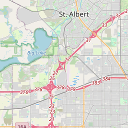
St. Albert is located in Edmonton city, Canada at the 53.6334, -113.6353 coordinates. Distance from St. Albert to other cities. are listed below, click on the city name to find distance between. Distance from St. Albert to Calgary 289 km, to Fort McMurray 372 km, to Red Deer 152 km. The green marker indicates the location of St. Albert.


Leaflet | © OpenStreetMap
Distance Between St. Albert and Cities
List of distances from St. Albert to Canada cities.
| City | Distance to St. Albert |
|---|---|
| St. Albert to Calgary | 289 km |
| St. Albert to Fort McMurray | 372 km |
| St. Albert to Red Deer | 152 km |
| St. Albert to Lethbridge | 441 km |
| St. Albert to Medicine Hat | 447 km |
| St. Albert to Sherwood Park | 25 km |
| St. Albert to Grande Prairie | 375 km |
| St. Albert to Airdrie | 261 km |
| St. Albert to Spruce Grove | 22 km |
| St. Albert to Cochrane | 278 km |
| St. Albert to Camrose | 87 km |
| St. Albert to Leduc | 41 km |
Distance from St. Albert to Foreign Cities
Choose a city to calculate distance from St. Albert to major cities in the world.
- Seattle to St. Albert
- Denver to St. Albert
- Portland to St. Albert
- Kansas City to St. Albert
- Colorado Springs to St. Albert
- Omaha to St. Albert
- Aurora to St. Albert
- Lincoln to St. Albert
- Reno to St. Albert
- Spokane to St. Albert
- Tacoma to St. Albert
- Salt Lake City to St. Albert
- Overland Park to St. Albert
- Vancouver to St. Albert
- Eugene to St. Albert
- Salem to St. Albert
- Sioux Falls to St. Albert
- Boise to St. Albert
- Kansas City to St. Albert
- Fort Collins to St. Albert
- Lakewood to St. Albert