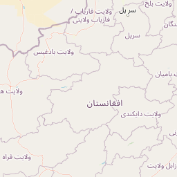
Distance Between Afghanistan Cities
Distance from Afghanistan to major cities are listed below, or choose from the list to calculate distance. 24 major city distances are calculated in Afghanistan country. The GPS coordinates of Afghanistan is 33° 56´ 20.7960'' N and 67° 42´ 35.8308'' E. Some of the leading cities of Afghanistan are Kabul, Kandahar, Mazar-e Sharif.


Leaflet | © OpenStreetMap
Distances of Afghanistan Cities
List of Afghanistan cities with distance in kilometers.
Visit city distance page to calculate distance to all cities.
| City | Distance |
|---|---|
| Kabul to Kandahar | 457 km |
| Mazar-e Sharif to Herat | 516 km |
| Jalalabad to Kunduz | 294 km |
| Ghazni to Gardez | 75 km |
| Khost to Maymana | 551 km |
| Bazarak to Taloqan | 158 km |
| Bamyan to Pul-e Khumri | 149 km |
| Shibirghan to Charikar | 359 km |
| Sar-e Pul to Zaranj | 695 km |
| Asadabad to Aibak | 323 km |
| Fayzabad to Lashkar Gah | 837 km |
| Farah to Mehtar Lam | 792 km |
The Nearest Neighboring Countries to Afghanistan
Distance from Afghanistan to the nearest countries.
The distance between Afghanistan and the nearest country Pakistan is 425 km.
| Country | Distance to Afghanistan |
|---|---|
| Pakistan | 425 km |
| Tajikistan | 633 km |
| Uzbekistan | 871 km |
| Turkmenistan | 918 km |
Click on the city name to list the sub cities within the major city, and calculate the distance between cities.