Distance Between Albania Cities
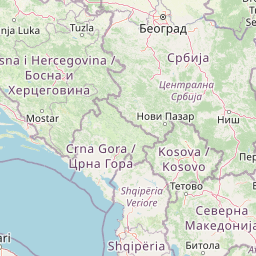
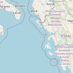
Distance from Albania to major cities are listed below, or choose from the list to calculate distance. 11 major city distances are calculated in Albania country. The GPS coordinates of Albania is 41° 9´ 11.9952'' N and 20° 10´ 5.9916'' E. Some of the leading cities of Albania are Tirana, Durres, Elbasan.


Leaflet | © OpenStreetMap
Distances of Albania Cities
List of Albania cities with distance in kilometers.
Visit city distance page to calculate distance to all cities.
| City | Distance |
|---|---|
| Tirana to Durres | 32 km |
| Elbasan to Vlore | 87 km |
| Shkoder to Korce | 193 km |
| Fier to Berat | 33 km |
| Gjirokaster to Lezhe | 194 km |
| Kukes |
The Nearest Neighboring Countries to Albania
Distance from Albania to the nearest countries.
The distance between Albania and the nearest country Macedonia is 141 km.
| Country | Distance to Albania |
|---|---|
| Macedonia | 141 km |
| Kosovo | 172 km |
| Montenegro | 185 km |
| Greece | 271 km |
| Serbia | 326 km |
| Bosnia and Herzegovina | 369 km |
| Bulgaria | 474 km |
| Croatia | 596 km |
| Italy | 638 km |
Click on the city name to list the sub cities within the major city, and calculate the distance between cities.