Distance Between Angola Cities
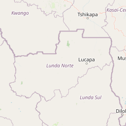
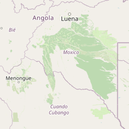
Distance from Angola to major cities are listed below, or choose from the list to calculate distance. 17 major city distances are calculated in Angola country. The GPS coordinates of Angola is 11° 12´ 9.6912'' S and 17° 52´ 25.9896'' E. Some of the leading cities of Angola are Luanda, N'dalatando, Huambo.


Leaflet | © OpenStreetMap
Distances of Angola Cities
List of Angola cities with distance in kilometers.
Visit city distance page to calculate distance to all cities.
| City | Distance |
|---|---|
| Luanda to N'dalatando | 191 km |
| Huambo to Benguela | 254 km |
| Cuito to Lubango | 466 km |
| Malanje to Namibe | 776 km |
| Cabinda to Uige | 390 km |
| Saurimo to Sumbe | 736 km |
| Menongue to Caxito | 806 km |
| Mbanza Congo to Luena | 874 km |
| Lucapa |
The Nearest Neighboring Countries to Angola
Distance from Angola to the nearest countries.
The distance between Angola and the nearest country Democratic Republic of the Congo is 904 km.
| Country | Distance to Angola |
|---|---|
| Democratic Republic of the Congo | 904 km |
Click on the city name to list the sub cities within the major city, and calculate the distance between cities.