Distance Between Argentina Cities
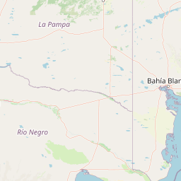
Distance from Argentina to major cities are listed below, or choose from the list to calculate distance. 24 major city distances are calculated in Argentina country. The GPS coordinates of Argentina is 38° 24´ 57.9456'' S and 63° 37´ 0.0228'' W. Some of the leading cities of Argentina are Buenos Aires, Cordoba, Mendoza.


Leaflet | © OpenStreetMap
Distances of Argentina Cities
List of Argentina cities with distance in kilometers.
Visit city distance page to calculate distance to all cities.
| City | Distance |
|---|---|
| Buenos Aires to Cordoba | 647 km |
| Mendoza to San Miguel de Tucuman | 759 km |
| La Plata to Salta | 1336 km |
| Santa Fe de la Vera Cruz to San Juan | 742 km |
| Resistencia to Santiago del Estero | 521 km |
| Corrientes to Posadas | 290 km |
| San Salvador de Jujuy to Parana | 960 km |
| Neuquen to Formosa | 1693 km |
| San Fernando del Valle de Catamarca to San Luis | 539 km |
| La Rioja to Santa Rosa | 836 km |
| Rio Gallegos to Ushuaia | 359 km |
| Viedma to Rawson | 327 km |
Click on the city name to list the sub cities within the major city, and calculate the distance between cities.