Distance Between Austria Cities
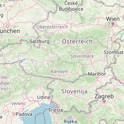
Distance from Austria to major cities are listed below, or choose from the list to calculate distance. 8 major city distances are calculated in Austria country. The GPS coordinates of Austria is 47° 30´ 58.4352'' N and 14° 33´ 0.2592'' E. Some of the leading cities of Austria are Vienna, Graz, Linz.


Leaflet | © OpenStreetMap
Distances of Austria Cities
List of Austria cities with distance in kilometers.
Visit city distance page to calculate distance to all cities.
| City | Distance |
|---|---|
| Vienna to Graz | 145 km |
| Linz to Salzburg | 108 km |
| Innsbruck to Klagenfurt am Woerthersee | 232 km |
| Sankt Poelten to Bregenz | 446 km |
The Nearest Neighboring Countries to Austria
Distance from Austria to the nearest countries.
The distance between Austria and the nearest country Slovenia is 156 km.
| Country | Distance to Austria |
|---|---|
| Slovenia | 156 km |
| Czech Republic | 265 km |
| Croatia | 273 km |
| Hungary | 375 km |
| Liechtenstein | 378 km |
| Slovakia | 403 km |
| San Marino | 429 km |
| Bosnia and Herzegovina | 468 km |
| Switzerland | 484 km |
Click on the city name to list the sub cities within the major city, and calculate the distance between cities.