Distance Between Azerbaijan Cities
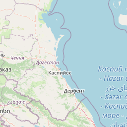
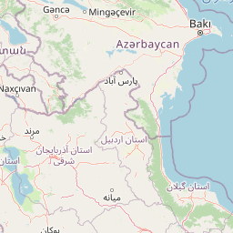
Distance from Azerbaijan to major cities are listed below, or choose from the list to calculate distance. 41 major city distances are calculated in Azerbaijan country. The GPS coordinates of Azerbaijan is 40° 8´ 35.1780'' N and 47° 34´ 36.9372'' E. Some of the leading cities of Azerbaijan are Baku, Ganja, Sumqayit.


Leaflet | © OpenStreetMap
Distances of Azerbaijan Cities
List of Azerbaijan cities with distance in kilometers.
Visit city distance page to calculate distance to all cities.
| City | Distance |
|---|---|
| Baku to Ganja | 300 km |
| Sumqayit to Lankaran | 216 km |
| Mingelchaur to Saatli | 144 km |
| Sirvan to Nakhchivan | 312 km |
| Sheki to Yevlakh | 64 km |
| Xankandi to Agdam | 24 km |
| Khirdalan to Barda | 223 km |
| Xacmaz to Salyan | 208 km |
| Dzhalilabad to Shamkhor | 277 km |
| Geoktschai to Agdzhabedy | 71 km |
| Imishli to Shamakhi | 98 km |
| Sabirabad to Fizuli | 122 km |
| Agdas to Divichibazar | 141 km |
| Haciqabul to Quba | 151 km |
| Kyurdarmir to Qazax | 249 km |
| Shushi to Neftcala | 218 km |
| Zaqatala to Terter | 145 km |
| Pushkino to Yelenendorf | 227 km |
| Aghsu to Qusar | 95 km |
| Ujar to Beylagan | 83 km |
| Astara |
Click on the city name to list the sub cities within the major city, and calculate the distance between cities.