Distance Between Belarus Cities
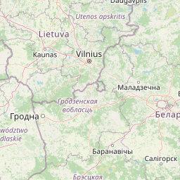
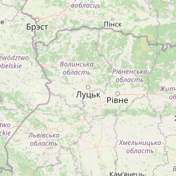
Distance from Belarus to major cities are listed below, or choose from the list to calculate distance. 6 major city distances are calculated in Belarus country. The GPS coordinates of Belarus is 53° 42´ 35.3088'' N and 27° 57´ 12.1968'' E. Some of the leading cities of Belarus are Minsk, Gomel, Mahilyow.


Leaflet | © OpenStreetMap
Distances of Belarus Cities
List of Belarus cities with distance in kilometers.
Visit city distance page to calculate distance to all cities.
| City | Distance |
|---|---|
| Minsk to Gomel | 280 km |
| Mahilyow to Vitebsk | 142 km |
| Hrodna to Brest | 177 km |
The Nearest Neighboring Countries to Belarus
Distance from Belarus to the nearest countries.
The distance between Belarus and the nearest country Lithuania is 309 km.
| Country | Distance to Belarus |
|---|---|
| Lithuania | 309 km |
| Latvia | 411 km |
| Estonia | 573 km |
| Poland | 624 km |
| Ukraine | 634 km |
| Moldova | 701 km |
| Slovakia | 802 km |
| Aland Islands | 868 km |
| Romania | 890 km |
Click on the city name to list the sub cities within the major city, and calculate the distance between cities.