Distance Between Belize Cities
Distance from Belize to major cities are listed below, or choose from the list to calculate distance. 3 major city distances are calculated in Belize country. The GPS coordinates of Belize is 17° 11´ 23.5572'' N and 88° 29´ 51.5400'' W. Some of the leading cities of Belize are Belize City, Orange Walk, Belmopan.


Leaflet | © OpenStreetMap
Distances of Belize Cities
List of Belize cities with distance in kilometers.
Visit city distance page to calculate distance to all cities.
| City | Distance |
|---|---|
| Belize City to Orange Walk | 75 km |
| Belmopan |
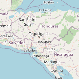
The Nearest Neighboring Countries to Belize
Distance from Belize to the nearest countries.
The distance between Belize and the nearest country Guatemala is 242 km.
| Country | Distance to Belize |
|---|---|
| Guatemala | 242 km |
| Honduras | 327 km |
| El Salvador | 380 km |
| Nicaragua | 597 km |
| Cayman Islands | 800 km |
| Costa Rica | 973 km |
Click on the city name to list the sub cities within the major city, and calculate the distance between cities.