Distance Between Benin Cities
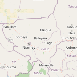
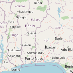
Distance from Benin to major cities are listed below, or choose from the list to calculate distance. 12 major city distances are calculated in Benin country. The GPS coordinates of Benin is 9° 18´ 27.6840'' N and 2° 18´ 57.0024'' E. Some of the leading cities of Benin are Cotonou, Djougou, Porto-Novo.


Leaflet | © OpenStreetMap
Distances of Benin Cities
List of Benin cities with distance in kilometers.
Visit city distance page to calculate distance to all cities.
| City | Distance |
|---|---|
| Cotonou to Djougou | 381 km |
| Porto-Novo to Parakou | 316 km |
| Kandi to Lokossa | 518 km |
| Ouidah to Abomey | 92 km |
| Natitingou to Dogbo | 390 km |
| Savalou to Sakete | 152 km |
The Nearest Neighboring Countries to Benin
Distance from Benin to the nearest countries.
The distance between Benin and the nearest country Togo is 181 km.
| Country | Distance to Benin |
|---|---|
| Togo | 181 km |
| Ghana | 397 km |
| Burkina Faso | 534 km |
| Nigeria | 698 km |
| Ivory Coast | 887 km |
Click on the city name to list the sub cities within the major city, and calculate the distance between cities.