Distance Between Bolivia Cities
Distance from Bolivia to major cities are listed below, or choose from the list to calculate distance. 8 major city distances are calculated in Bolivia country. The GPS coordinates of Bolivia is 16° 17´ 24.5544'' S and 63° 35´ 19.1544'' W. Some of the leading cities of Bolivia are Santa Cruz de la Sierra, Cochabamba, Sucre.
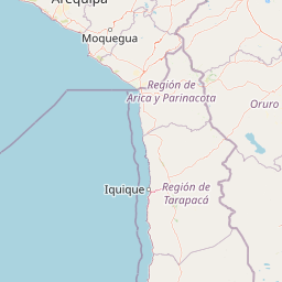
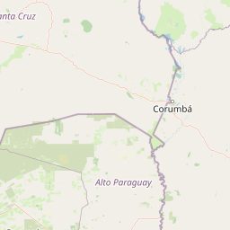
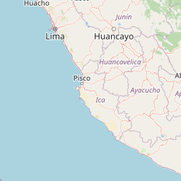
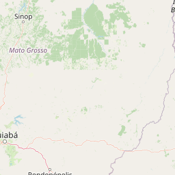

Leaflet | © OpenStreetMap
Distances of Bolivia Cities
List of Bolivia cities with distance in kilometers.
Visit city distance page to calculate distance to all cities.
| City | Distance |
|---|---|
| Santa Cruz de la Sierra to Cochabamba | 318 km |
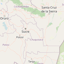
| Sucre to Oruro | 231 km |
| Tarija to Potosi | 242 km |
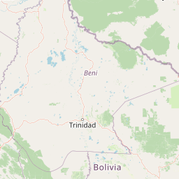
| Trinidad to Cobija | 596 km |
Click on the city name to list the sub cities within the major city, and calculate the distance between cities.