Distance Between Colombia Cities
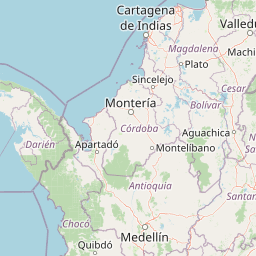
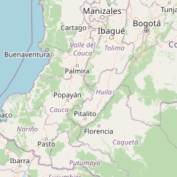
Distance from Colombia to major cities are listed below, or choose from the list to calculate distance. 29 major city distances are calculated in Colombia country. The GPS coordinates of Colombia is 4° 34´ 15.1248'' N and 74° 17´ 50.3988'' W. Some of the leading cities of Colombia are Bogota, Cali, Medellin.


Leaflet | © OpenStreetMap
Distances of Colombia Cities
List of Colombia cities with distance in kilometers.
Visit city distance page to calculate distance to all cities.
| City | Distance |
|---|---|
| Bogota to Cali | 300 km |
| Medellin to Barranquilla | 531 km |
| Cartagena to Cucuta | 432 km |
| Bucaramanga to Pereira | 384 km |
| Santa Marta to Ibague | 765 km |
| Pasto to Manizales | 471 km |
| Neiva to Villavicencio | 228 km |
| Armenia to Valledupar | 711 km |
| Monteria to Sincelejo | 82 km |
| Popayan to Florencia | 145 km |
| Tunja to Riohacha | 670 km |
| Quibdo to Arauca | 670 km |
| Yopal to San Andres | 1301 km |
| Leticia to San Jose del Guaviare | 812 km |
| Mocoa |
Click on the city name to list the sub cities within the major city, and calculate the distance between cities.