Distance Between East Timor Cities
Distance from East Timor to major cities are listed below, or choose from the list to calculate distance. 8 major city distances are calculated in East Timor country. The GPS coordinates of East Timor is 8° 52´ 27.1812'' S and 125° 43´ 39.1404'' E. Some of the leading cities of East Timor are Dili, Same, Maliana.
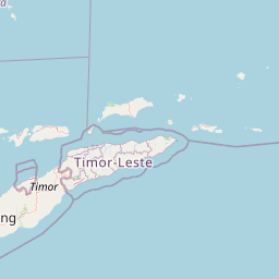
Leaflet | © OpenStreetMap
Distances of East Timor Cities
List of East Timor cities with distance in kilometers.
Visit city distance page to calculate distance to all cities.
| City | Distance |
|---|---|
| Dili to Same | 50 km |
| Maliana to Suai | 36 km |
| Liquica to Aileu | 29 km |
| Lospalos to Baucau | 60 km |
The Nearest Neighboring Countries to East Timor
Distance from East Timor to the nearest countries.
The distance between East Timor and the nearest country Indonesia is 1586 km.
| Country | Distance to East Timor |
|---|---|
| Indonesia | 1586 km |
| Brunei | 1926 km |
| Australia | 2013 km |
| Papua New Guinea | 2029 km |
| Palau | 2070 km |
| Christmas Island | 2203 km |
| Philippines | 2458 km |
| Singapore | 2681 km |
| Malaysia | 3008 km |
Click on the city name to list the sub cities within the major city, and calculate the distance between cities.