Distance Between Finland Cities
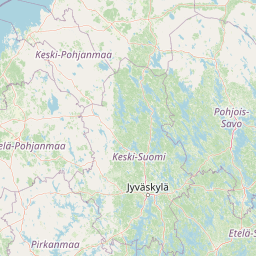
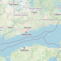
Distance from Finland to major cities are listed below, or choose from the list to calculate distance. 18 major city distances are calculated in Finland country. The GPS coordinates of Finland is 61° 55´ 26.7960'' N and 25° 44´ 53.3472'' E. Some of the leading cities of Finland are Helsinki, Tampere, Turku.


Leaflet | © OpenStreetMap
Distances of Finland Cities
List of Finland cities with distance in kilometers.
Visit city distance page to calculate distance to all cities.
| City | Distance |
|---|---|
| Helsinki to Tampere | 160 km |
| Turku to Oulu | 533 km |
| Lahti to Kuopio | 237 km |
| Jyvaeskylae to Pori | 223 km |
| Lappeenranta to Vaasa | 410 km |
| Joensuu to Haemeenlinna | 331 km |
| Mikkeli to Kokkola | 319 km |
| Kajaani to Rovaniemi | 269 km |
| Seinaejoki to Kouvola | 295 km |
The Nearest Neighboring Countries to Finland
Distance from Finland to the nearest countries.
The distance between Finland and the nearest country Aland Islands is 369 km.
| Country | Distance to Finland |
|---|---|
| Aland Islands | 369 km |
| Estonia | 372 km |
| Sweden | 431 km |
| Latvia | 565 km |
| Lithuania | 759 km |
| Belarus | 923 km |
| Norway | 937 km |
Click on the city name to list the sub cities within the major city, and calculate the distance between cities.