Distance Between France Cities
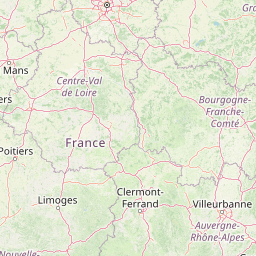
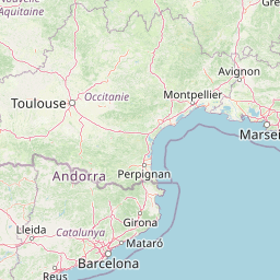
Distance from France to major cities are listed below, or choose from the list to calculate distance. 22 major city distances are calculated in France country. The GPS coordinates of France is 46° 13´ 39.4968'' N and 2° 12´ 49.4964'' E. Some of the leading cities of France are Paris, Marseille, Lyon.


Leaflet | © OpenStreetMap
Distances of France Cities
List of France cities with distance in kilometers.
Visit city distance page to calculate distance to all cities.
| City | Distance |
|---|---|
| Paris to Marseille | 660 km |
| Lyon to Toulouse | 359 km |
| Nantes to Strasbourg | 709 km |
| Montpellier to Bordeaux | 381 km |
| Lille to Rennes | 443 km |
| Dijon to Amiens | 350 km |
| Limoges to Clermont-Ferrand | 142 km |
| Besancon to Orleans | 317 km |
| Metz to Rouen | 370 km |
| Caen to Poitiers | 294 km |
| Ajaccio to Chalons-en-Champagne | 852 km |
The Nearest Neighboring Countries to France
Distance from France to the nearest countries.
The distance between France and the nearest country Andorra is 417 km.
| Country | Distance to France |
|---|---|
| Andorra | 417 km |
| Jersey | 465 km |
| Switzerland | 465 km |
| Luxembourg | 494 km |
| Monaco | 494 km |
| Belgium | 504 km |
| Guernsey | 508 km |
| Liechtenstein | 569 km |
| Netherlands | 693 km |
Click on the city name to list the sub cities within the major city, and calculate the distance between cities.