Distance Between Germany Cities
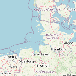
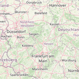
Distance from Germany to major cities are listed below, or choose from the list to calculate distance. 16 major city distances are calculated in Germany country. The GPS coordinates of Germany is 51° 9´ 56.4876'' N and 10° 27´ 5.4936'' E. Some of the leading cities of Germany are Berlin, Hamburg, Munich.


Leaflet | © OpenStreetMap
Distances of Germany Cities
List of Germany cities with distance in kilometers.
Visit city distance page to calculate distance to all cities.
| City | Distance |
|---|---|
| Berlin to Hamburg | 255 km |
| Munich to Stuttgart | 191 km |
| Dusseldorf to Bremen | 248 km |
| Hannover to Dresden | 312 km |
| Wiesbaden to Kiel | 488 km |
| Magdeburg to Erfurt | 134 km |
| Mainz to Saarbrucken | 125 km |
| Potsdam to Schwerin | 176 km |
The Nearest Neighboring Countries to Germany
Distance from Germany to the nearest countries.
The distance between Germany and the nearest country Luxembourg is 341 km.
| Country | Distance to Germany |
|---|---|
| Luxembourg | 341 km |
| Netherlands | 372 km |
| Czech Republic | 385 km |
| Belgium | 426 km |
| Liechtenstein | 449 km |
| Austria | 503 km |
| Switzerland | 510 km |
| Denmark | 570 km |
| Poland | 607 km |
Click on the city name to list the sub cities within the major city, and calculate the distance between cities.