Distance Between Greece Cities
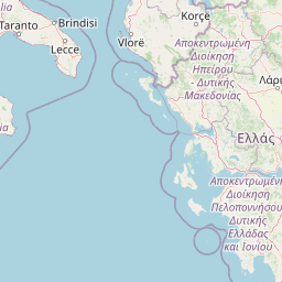
Distance from Greece to major cities are listed below, or choose from the list to calculate distance. 12 major city distances are calculated in Greece country. The GPS coordinates of Greece is 39° 4´ 27.1452'' N and 21° 49´ 27.5232'' E. Some of the leading cities of Greece are Athens, Thessaloniki, Patra.


Leaflet | © OpenStreetMap
Distances of Greece Cities
List of Greece cities with distance in kilometers.
Visit city distance page to calculate distance to all cities.
| City | Distance |
|---|---|
| Athens to Thessaloniki | 304 km |
| Patra to Irakleion | 444 km |
| Larisa to Ioannina | 134 km |
| Lamia to Komotini | 353 km |
| Kozani to Mytilini | 429 km |
| Kerkyra to Tripoli | 318 km |
The Nearest Neighboring Countries to Greece
Distance from Greece to the nearest countries.
The distance between Greece and the nearest country Albania is 271 km.
| Country | Distance to Greece |
|---|---|
| Albania | 271 km |
| Macedonia | 282 km |
| Kosovo | 400 km |
| Montenegro | 454 km |
| Bulgaria | 510 km |
| Serbia | 554 km |
| Bosnia and Herzegovina | 639 km |
| Malta | 744 km |
| Romania | 806 km |
Click on the city name to list the sub cities within the major city, and calculate the distance between cities.