Distance Between Honduras Cities
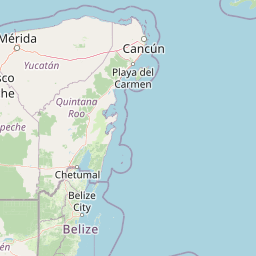
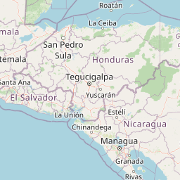
Distance from Honduras to major cities are listed below, or choose from the list to calculate distance. 10 major city distances are calculated in Honduras country. The GPS coordinates of Honduras is 15° 11´ 59.9964'' N and 86° 14´ 30.8580'' W. Some of the leading cities of Honduras are Tegucigalpa, San Pedro Sula, La Ceiba.


Leaflet | © OpenStreetMap
Distances of Honduras Cities
List of Honduras cities with distance in kilometers.
Visit city distance page to calculate distance to all cities.
| City | Distance |
|---|---|
| Tegucigalpa to San Pedro Sula | 181 km |
| La Ceiba to Ciudad Choluteca | 277 km |
| Comayagua to Juticalpa | 154 km |
| Santa Rosa de Copan to La Paz | 128 km |
| Yoro to Santa Barbara | 121 km |
The Nearest Neighboring Countries to Honduras
Distance from Honduras to the nearest countries.
The distance between Honduras and the nearest country Nicaragua is 283 km.
| Country | Distance to Honduras |
|---|---|
| Nicaragua | 283 km |
| El Salvador | 326 km |
| Belize | 327 km |
| Guatemala | 432 km |
| Costa Rica | 664 km |
| Cayman Islands | 700 km |
| Panama | 949 km |
Click on the city name to list the sub cities within the major city, and calculate the distance between cities.