Distance Between Indonesia Cities
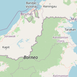
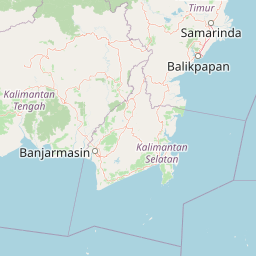
Distance from Indonesia to major cities are listed below, or choose from the list to calculate distance. 32 major city distances are calculated in Indonesia country. The GPS coordinates of Indonesia is 0° 47´ 21.3900'' S and 113° 55´ 16.7736'' E. Some of the leading cities of Indonesia are Jakarta, Surabaya, Medan.


Leaflet | © OpenStreetMap
Distances of Indonesia Cities
List of Indonesia cities with distance in kilometers.
Visit city distance page to calculate distance to all cities.
| City | Distance |
|---|---|
| Jakarta to Surabaya | 662 km |
| Medan to Bandung | 1532 km |
| Palembang to Makassar | 1646 km |
| Semarang to Padang | 1303 km |
| Bandarlampung to Pekanbaru | 786 km |
| Yogyakarta to Banjarmasin | 682 km |
| Pontianak to Manado | 1734 km |
| Jambi City to Denpasar | 1504 km |
| Ambon to Samarinda | 1277 km |
| Mataram to Bengkulu | 1620 km |
| Palu to Kupang | 1111 km |
| Banda Aceh to Kendari | 3200 km |
| Tanjungpinang to Serang | 804 km |
| Palangkaraya to Gorontalo | 1062 km |
| Jayapura to Pangkalpinang | 3845 km |
| Manokwari to Sofifi | 748 km |
Click on the city name to list the sub cities within the major city, and calculate the distance between cities.