Distance Between Iraq Cities
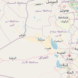
Distance from Iraq to major cities are listed below, or choose from the list to calculate distance. 18 major city distances are calculated in Iraq country. The GPS coordinates of Iraq is 33° 13´ 23.4840'' N and 43° 40´ 45.4476'' E. Some of the leading cities of Iraq are Baghdad, Al Basrah, Mosul.


Leaflet | © OpenStreetMap
Distances of Iraq Cities
List of Iraq cities with distance in kilometers.
Visit city distance page to calculate distance to all cities.
| City | Distance |
|---|---|
| Baghdad to Al Basrah | 447 km |
| Mosul to Erbil | 81 km |
| As Sulaymaniyah to Kirkuk | 95 km |
| An Najaf to Karbala | 72 km |
| An Nasiriyah to Al `Amarah | 121 km |
| Ad Diwaniyah to Al Kut | 102 km |
| Al Hillah to Dihok | 507 km |
| Ramadi to As Samawah | 298 km |
| Baqubah to Tikrit | 131 km |
The Nearest Neighboring Countries to Iraq
Distance from Iraq to the nearest countries.
The distance between Iraq and the nearest country Syria is 466 km.
| Country | Distance to Iraq |
|---|---|
| Syria | 466 km |
| Kuwait | 565 km |
| Lebanon | 728 km |
| Jordan | 761 km |
| Armenia | 771 km |
| Palestinian Territory | 797 km |
| Azerbaijan | 844 km |
| Israel | 865 km |
| Iran | 939 km |
Click on the city name to list the sub cities within the major city, and calculate the distance between cities.