Distance Between Kazakhstan Cities
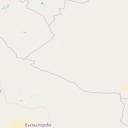
Distance from Kazakhstan to major cities are listed below, or choose from the list to calculate distance. 17 major city distances are calculated in Kazakhstan country. The GPS coordinates of Kazakhstan is 48° 1´ 10.4628'' N and 66° 55´ 25.2588'' E. Some of the leading cities of Kazakhstan are Almaty, Karagandy, Shymkent.


Leaflet | © OpenStreetMap
Distances of Kazakhstan Cities
List of Kazakhstan cities with distance in kilometers.
Visit city distance page to calculate distance to all cities.
| City | Distance |
|---|---|
| Almaty to Karagandy | 786 km |
| Shymkent to Taraz | 159 km |
| Astana to Pavlodar | 402 km |
| Ust-Kamenogorsk to Kyzylorda | 1403 km |
| Aqtobe to Kostanay | 549 km |
| Petropavlovsk to Oral | 1251 km |
| Atyrau to Aktau | 390 km |
| Kokshetau to Taldykorgan | 1126 km |
| Baykonyr |
The Nearest Neighboring Countries to Kazakhstan
Distance from Kazakhstan to the nearest countries.
The distance between Kazakhstan and the nearest country Uzbekistan is 761 km.
| Country | Distance to Kazakhstan |
|---|---|
| Uzbekistan | 761 km |
| Kyrgyzstan | 979 km |
Click on the city name to list the sub cities within the major city, and calculate the distance between cities.