Distance Between Kosovo Cities
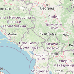
Distance from Kosovo to major cities are listed below, or choose from the list to calculate distance. 20 major city distances are calculated in Kosovo country. The GPS coordinates of Kosovo is 42° 36´ 9.4824'' N and 20° 54´ 10.7172'' E. Some of the leading cities of Kosovo are Pristina, Prizren, Mitrovice.


Leaflet | © OpenStreetMap
Distances of Kosovo Cities
List of Kosovo cities with distance in kilometers.
Visit city distance page to calculate distance to all cities.
| City | Distance |
|---|---|
| Pristina to Prizren | 62 km |
| Mitrovice to Gjakove | 66 km |
| Peje to Suva Reka | 55 km |
| Ferizaj to Glogovac | 36 km |
| Gjilan to Decan | 97 km |
| Vitina to Istok | 88 km |
| Shtime to Podujeva | 55 km |
| Dragash to Vushtrri | 92 km |
| Orahovac to Leposaviq | 79 km |
| Zvecan to Kosovo Polje | 34 km |
The Nearest Neighboring Countries to Kosovo
Distance from Kosovo to the nearest countries.
The distance between Kosovo and the nearest country Montenegro is 126 km.
| Country | Distance to Kosovo |
|---|---|
| Montenegro | 126 km |
| Macedonia | 131 km |
| Serbia | 157 km |
| Albania | 172 km |
| Bosnia and Herzegovina | 299 km |
| Bulgaria | 375 km |
| Greece | 400 km |
| Romania | 492 km |
| Hungary | 519 km |
Click on the city name to list the sub cities within the major city, and calculate the distance between cities.