Distance Between Latvia Cities
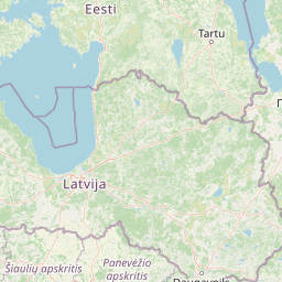
Distance from Latvia to major cities are listed below, or choose from the list to calculate distance. 13 major city distances are calculated in Latvia country. The GPS coordinates of Latvia is 56° 52´ 46.6860'' N and 24° 36´ 11.4804'' E. Some of the leading cities of Latvia are Riga, Daugavpils, Liepaja.


Leaflet | © OpenStreetMap
Distances of Latvia Cities
List of Latvia cities with distance in kilometers.
Visit city distance page to calculate distance to all cities.
| City | Distance |
|---|---|
| Riga to Daugavpils | 190 km |
| Liepaja to Jelgava | 166 km |
| Jurmala to Ventspils | 141 km |
| Rezekne to Jekabpils | 90 km |
| Valmiera to Ogre | 94 km |
| Tukums to Cesis | 133 km |
| Salaspils |
The Nearest Neighboring Countries to Latvia
Distance from Latvia to the nearest countries.
The distance between Latvia and the nearest country Estonia is 192 km.
| Country | Distance to Latvia |
|---|---|
| Estonia | 192 km |
| Lithuania | 195 km |
| Belarus | 411 km |
| Aland Islands | 456 km |
| Sweden | 500 km |
| Finland | 565 km |
| Poland | 655 km |
| Denmark | 926 km |
| Slovakia | 970 km |
Click on the city name to list the sub cities within the major city, and calculate the distance between cities.