Distance Between Libya Cities
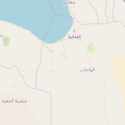
Distance from Libya to major cities are listed below, or choose from the list to calculate distance. 19 major city distances are calculated in Libya country. The GPS coordinates of Libya is 26° 20´ 6.3600'' N and 17° 13´ 41.9916'' E. Some of the leading cities of Libya are Tripoli, Benghazi, Misratah.


Leaflet | © OpenStreetMap
Distances of Libya Cities
List of Libya cities with distance in kilometers.
Visit city distance page to calculate distance to all cities.
| City | Distance |
|---|---|
| Tripoli to Benghazi | 651 km |
| Misratah to Al Khums | 84 km |
| Az Zawiyah to Ajdabiya | 743 km |
| Sabha to Sirte | 509 km |
| Tobruk to Al Marj | 299 km |
| Gharyan to Darnah | 904 km |
| Al Bayda' to Zuwarah | 903 km |
| Murzuq to Awbari | 136 km |
| Nalut to Ghat | 772 km |
| Hun |
The Nearest Neighboring Countries to Libya
Distance from Libya to the nearest countries.
The distance between Libya and the nearest country Malta is 1102 km.
| Country | Distance to Libya |
|---|---|
| Malta | 1102 km |
| Tunisia | 1118 km |
| Chad | 1220 km |
| Egypt | 1350 km |
| Niger | 1352 km |
| Greece | 1480 km |
| Algeria | 1550 km |
| Albania | 1670 km |
| Macedonia | 1748 km |
Click on the city name to list the sub cities within the major city, and calculate the distance between cities.