Distance Between Lithuania Cities
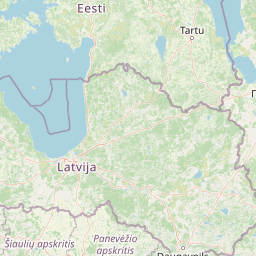
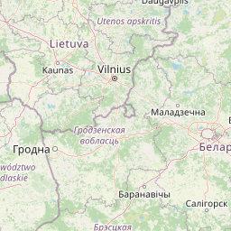
Distance from Lithuania to major cities are listed below, or choose from the list to calculate distance. 10 major city distances are calculated in Lithuania country. The GPS coordinates of Lithuania is 55° 10´ 9.9732'' N and 23° 52´ 52.5900'' E. Some of the leading cities of Lithuania are Vilnius, Kaunas, Klaipeda.


Leaflet | © OpenStreetMap
Distances of Lithuania Cities
List of Lithuania cities with distance in kilometers.
Visit city distance page to calculate distance to all cities.
| City | Distance |
|---|---|
| Vilnius to Kaunas | 92 km |
| Klaipeda to Siauliai | 139 km |
| Panevezys to Alytus | 149 km |
| Marijampole to Utena | 177 km |
| Telsiai to Taurage | 81 km |
The Nearest Neighboring Countries to Lithuania
Distance from Lithuania to the nearest countries.
The distance between Lithuania and the nearest country Latvia is 195 km.
| Country | Distance to Lithuania |
|---|---|
| Latvia | 195 km |
| Belarus | 309 km |
| Estonia | 387 km |
| Poland | 478 km |
| Aland Islands | 605 km |
| Sweden | 633 km |
| Finland | 759 km |
| Slovakia | 777 km |
| Czech Republic | 822 km |
Click on the city name to list the sub cities within the major city, and calculate the distance between cities.