Distance Between Macedonia Cities
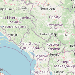
Distance from Macedonia to major cities are listed below, or choose from the list to calculate distance. 35 major city distances are calculated in Macedonia country. The GPS coordinates of Macedonia is 41° 36´ 31.0860'' N and 21° 44´ 42.9900'' E. Some of the leading cities of Macedonia are Skopje, Bitola, Kumanovo.


Leaflet | © OpenStreetMap
Distances of Macedonia Cities
List of Macedonia cities with distance in kilometers.
Visit city distance page to calculate distance to all cities.
| City | Distance |
|---|---|
| Skopje to Bitola | 108 km |
| Kumanovo to Prilep | 89 km |
| Tetovo to Cair | 39 km |
| Kisela Voda to Veles | 34 km |
| Ohrid to Gostivar | 76 km |
| Shtip to Strumica | 51 km |
| Centar Zupa to Kavadarci | 121 km |
| Struga to Butel | 114 km |
| Kochani to Kicevo | 129 km |
| Lipkovo to Zhelino | 47 km |
| Saraj to Radovish | 102 km |
| Tearce to Kriva Palanka | 106 km |
| Suto Orizare to Gevgelija | 134 km |
| Negotino to Studenichani | 67 km |
| Vinica to Debar | 170 km |
| Delcevo to Resen | 176 km |
| Ilinden to Brvenica | 50 km |
| Bogovinje |
The Nearest Neighboring Countries to Macedonia
Distance from Macedonia to the nearest countries.
The distance between Macedonia and the nearest country Kosovo is 131 km.
| Country | Distance to Macedonia |
|---|---|
| Kosovo | 131 km |
| Albania | 141 km |
| Montenegro | 231 km |
| Serbia | 274 km |
| Greece | 282 km |
| Bulgaria | 333 km |
| Bosnia and Herzegovina | 419 km |
| Romania | 547 km |
| Hungary | 643 km |
Click on the city name to list the sub cities within the major city, and calculate the distance between cities.