Distance Between Moldova Cities
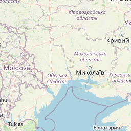
Distance from Moldova to major cities are listed below, or choose from the list to calculate distance. 15 major city distances are calculated in Moldova country. The GPS coordinates of Moldova is 47° 24´ 41.8788'' N and 28° 22´ 11.5824'' E. Some of the leading cities of Moldova are Chisinau, Tiraspol, Balti.


Leaflet | © OpenStreetMap
Distances of Moldova Cities
List of Moldova cities with distance in kilometers.
Visit city distance page to calculate distance to all cities.
| City | Distance |
|---|---|
| Chisinau to Tiraspol | 62 km |
| Balti to Bender | 156 km |
| Cahul to Ungheni | 147 km |
| Soroca to Orhei | 94 km |
| Comrat to Edinet | 231 km |
| Causeni to Straseni | 82 km |
| Hincesti to Floresti | 121 km |
| Drochia |
The Nearest Neighboring Countries to Moldova
Distance from Moldova to the nearest countries.
The distance between Moldova and the nearest country Ukraine is 235 km.
| Country | Distance to Moldova |
|---|---|
| Ukraine | 235 km |
| Romania | 307 km |
| Bulgaria | 567 km |
| Slovakia | 659 km |
| Hungary | 669 km |
| Serbia | 685 km |
| Belarus | 701 km |
| Kosovo | 793 km |
| Poland | 831 km |
Click on the city name to list the sub cities within the major city, and calculate the distance between cities.