Distance Between Mongolia Cities
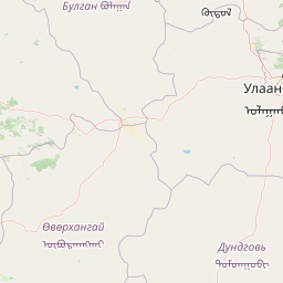
Distance from Mongolia to major cities are listed below, or choose from the list to calculate distance. 17 major city distances are calculated in Mongolia country. The GPS coordinates of Mongolia is 46° 51´ 44.9820'' N and 103° 50´ 47.9652'' E. Some of the leading cities of Mongolia are Ulaanbaatar, Erdenet, Darhan.


Leaflet | © OpenStreetMap
Distances of Mongolia Cities
List of Mongolia cities with distance in kilometers.
Visit city distance page to calculate distance to all cities.
| City | Distance |
|---|---|
| Ulaanbaatar to Erdenet | 241 km |
| Darhan to Khovd | 1058 km |
| OElgiy to Ulaangom | 189 km |
| Murun-kuren to Bayanhongor | 385 km |
| Arvayheer to Suhbaatar | 509 km |
| Saynshand to Bulgan | 664 km |
| Uliastay to Baruun-Urt | 1245 km |
| Altai to Mandalgovi | 775 km |
| Dalandzadgad |
The Nearest Neighboring Countries to Mongolia
Distance from Mongolia to the nearest countries.
The distance between Mongolia and the nearest country China is 1224 km.
| Country | Distance to Mongolia |
|---|---|
| China | 1224 km |
| Russia | 1633 km |
| North Korea | 2029 km |
| South Korea | 2324 km |
| Kyrgyzstan | 2393 km |
| Bhutan | 2450 km |
| Nepal | 2674 km |
| Kazakhstan | 2753 km |
| Tajikistan | 2777 km |
Click on the city name to list the sub cities within the major city, and calculate the distance between cities.