Distance Between Myanmar Cities
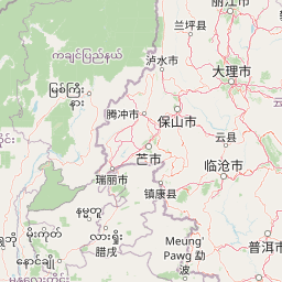
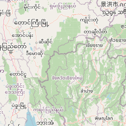
Distance from Myanmar to major cities are listed below, or choose from the list to calculate distance. 15 major city distances are calculated in Myanmar country. The GPS coordinates of Myanmar is 21° 54´ 50.2740'' N and 95° 57´ 22.4028'' E. Some of the leading cities of Myanmar are Yangon, Mandalay, Nay Pyi Taw.


Leaflet | © OpenStreetMap
Distances of Myanmar Cities
List of Myanmar cities with distance in kilometers.
Visit city distance page to calculate distance to all cities.
| City | Distance |
|---|---|
| Yangon to Mandalay | 575 km |
| Nay Pyi Taw to Mawlamyine | 395 km |
| Bago to Pathein | 196 km |
| Sittwe to Taunggyi | 437 km |
| Dawei to Magway | 759 km |
| Myitkyina to Sagaing | 416 km |
| Hpa-an to Hakha | 766 km |
| Loikaw |
The Nearest Neighboring Countries to Myanmar
Distance from Myanmar to the nearest countries.
The distance between Myanmar and the nearest country Bangladesh is 607 km.
| Country | Distance to Myanmar |
|---|---|
| Bangladesh | 607 km |
| Laos | 717 km |
| Bhutan | 836 km |
| Thailand | 856 km |
Click on the city name to list the sub cities within the major city, and calculate the distance between cities.