Distance Between Peru Cities
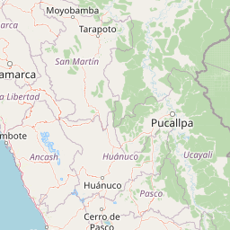
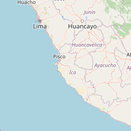
Distance from Peru to major cities are listed below, or choose from the list to calculate distance. 26 major city distances are calculated in Peru country. The GPS coordinates of Peru is 9° 11´ 23.8812'' S and 75° 0´ 54.5472'' W. Some of the leading cities of Peru are Lima, Arequipa, Callao.


Leaflet | © OpenStreetMap
Distances of Peru Cities
List of Peru cities with distance in kilometers.
Visit city distance page to calculate distance to all cities.
| City | Distance |
|---|---|
| Lima to Arequipa | 765 km |
| Callao to Trujillo | 486 km |
| Chiclayo to Iquitos | 803 km |
| Huancayo to Piura | 969 km |
| Cusco to Pucallpa | 638 km |
| Tacna to Ica | 731 km |
| Huanuco to Ayacucho | 421 km |
| Cajamarca to Puno | 1335 km |
| Tumbes to Huaraz | 737 km |
| Cerro de Pasco to Abancay | 493 km |
| Huacho to Moquegua | 988 km |
| Moyobamba to Huancavelica | 782 km |
| Puerto Maldonado to Chachapoyas | 1186 km |
Click on the city name to list the sub cities within the major city, and calculate the distance between cities.