Distance Between Poland Cities
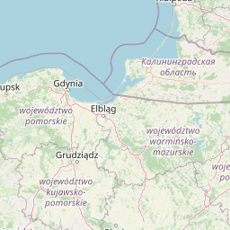
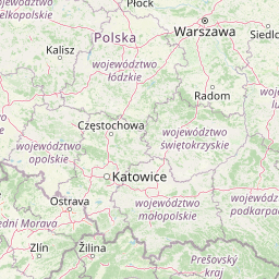
Distance from Poland to major cities are listed below, or choose from the list to calculate distance. 17 major city distances are calculated in Poland country. The GPS coordinates of Poland is 51° 55´ 9.9732'' N and 19° 8´ 42.4896'' E. Some of the leading cities of Poland are Warsaw, Lodz, Krakow.


Leaflet | © OpenStreetMap
Distances of Poland Cities
List of Poland cities with distance in kilometers.
Visit city distance page to calculate distance to all cities.
| City | Distance |
|---|---|
| Warsaw to Lodz | 118 km |
| Krakow to Wroclaw | 235 km |
| Poznan to Gdansk | 244 km |
| Szczecin to Bydgoszcz | 232 km |
| Lublin to Katowice | 272 km |
| Bialystok to Kielce | 306 km |
| Olsztyn to Rzeszow | 428 km |
| Opole to Gorzow Wielkopolski | 295 km |
| Zielona Gora |
The Nearest Neighboring Countries to Poland
Distance from Poland to the nearest countries.
The distance between Poland and the nearest country Czech Republic is 348 km.
| Country | Distance to Poland |
|---|---|
| Czech Republic | 348 km |
| Slovakia | 364 km |
| Lithuania | 478 km |
| Hungary | 530 km |
| Austria | 590 km |
| Germany | 607 km |
| Belarus | 624 km |
| Latvia | 655 km |
| Slovenia | 709 km |
Click on the city name to list the sub cities within the major city, and calculate the distance between cities.