Distance Between Portugal Cities
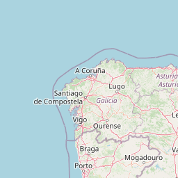
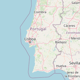
Distance from Portugal to major cities are listed below, or choose from the list to calculate distance. 20 major city distances are calculated in Portugal country. The GPS coordinates of Portugal is 39° 23´ 59.5392'' N and 8° 13´ 28.0344'' W. Some of the leading cities of Portugal are Lisbon, Porto, Braga.


Leaflet | © OpenStreetMap
Distances of Portugal Cities
List of Portugal cities with distance in kilometers.
Visit city distance page to calculate distance to all cities.
| City | Distance |
|---|---|
| Lisbon to Porto | 274 km |
| Braga to Setubal | 339 km |
| Coimbra to Funchal | 1132 km |
| Evora to Aveiro | 240 km |
| Leiria to Faro | 312 km |
| Beja to Braganca | 432 km |
| Castelo Branco to Guarda | 82 km |
| Santarem to Viseu | 172 km |
| Ponta Delgada to Vila Real | 1584 km |
| Portalegre to Viana do Castelo | 292 km |
Click on the city name to list the sub cities within the major city, and calculate the distance between cities.