Distance Between Puerto Rico Cities
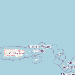
Distance from Puerto Rico to major cities are listed below, or choose from the list to calculate distance. 20 major city distances are calculated in Puerto Rico country. The GPS coordinates of Puerto Rico is 18° 13´ 14.9988'' N and 66° 35´ 24.5364'' W. Some of the leading cities of Puerto Rico are San Juan, Bayamon, Carolina.


Leaflet | © OpenStreetMap
Distances of Puerto Rico Cities
List of Puerto Rico cities with distance in kilometers.
Visit city distance page to calculate distance to all cities.
| City | Distance |
|---|---|
| San Juan to Bayamon | 9 km |
| Carolina to Ponce | 81 km |
| Caguas to Guaynabo | 15 km |
| Mayagueez to Trujillo Alto | 121 km |
| Arecibo to Fajardo | 113 km |
| Vega Baja to Catano | 28 km |
| Barceloneta to Guayama | 69 km |
| Humacao to Yauco | 109 km |
| Adjuntas to Cayey | 59 km |
| Manati to Aguadilla | 70 km |
The Nearest Neighboring Countries to Puerto Rico
Distance from Puerto Rico to the nearest countries.
The distance between Puerto Rico and the nearest country U.S. Virgin Islands is 179 km.
| Country | Distance to Puerto Rico |
|---|---|
| U.S. Virgin Islands | 179 km |
| British Virgin Islands | 207 km |
| Anguilla | 372 km |
| Saint Martin | 374 km |
| Sint Maarten | 374 km |
| Dominican Republic | 381 km |
| Saint Barthelemy | 399 km |
| Saint Kitts and Nevis | 414 km |
| Montserrat | 495 km |
Click on the city name to list the sub cities within the major city, and calculate the distance between cities.