Distance Between Slovakia Cities
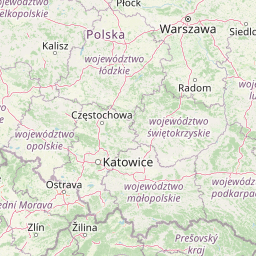
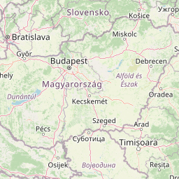
Distance from Slovakia to major cities are listed below, or choose from the list to calculate distance. 8 major city distances are calculated in Slovakia country. The GPS coordinates of Slovakia is 48° 40´ 8.4900'' N and 19° 41´ 56.4864'' E. Some of the leading cities of Slovakia are Bratislava, Kosice, Presov.


Leaflet | © OpenStreetMap
Distances of Slovakia Cities
List of Slovakia cities with distance in kilometers.
Visit city distance page to calculate distance to all cities.
| City | Distance |
|---|---|
| Bratislava to Kosice | 313 km |
| Presov to Nitra | 244 km |
| Zilina to Banska Bystrica | 62 km |
| Trnava to Trencin | 67 km |
The Nearest Neighboring Countries to Slovakia
Distance from Slovakia to the nearest countries.
The distance between Slovakia and the nearest country Hungary is 168 km.
| Country | Distance to Slovakia |
|---|---|
| Hungary | 168 km |
| Czech Republic | 332 km |
| Poland | 364 km |
| Austria | 403 km |
| Slovenia | 451 km |
| Romania | 499 km |
| Croatia | 524 km |
| Serbia | 527 km |
| Bosnia and Herzegovina | 551 km |
Click on the city name to list the sub cities within the major city, and calculate the distance between cities.