Distance Between Spain Cities
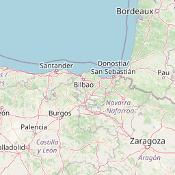
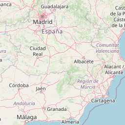
Distance from Spain to major cities are listed below, or choose from the list to calculate distance. 20 major city distances are calculated in Spain country. The GPS coordinates of Spain is 40° 25´ 0.3072'' N and 3° 42´ 13.9104'' W. Some of the leading cities of Spain are Madrid, Barcelona, Valencia.


Leaflet | © OpenStreetMap
Distances of Spain Cities
List of Spain cities with distance in kilometers.
Visit city distance page to calculate distance to all cities.
| City | Distance |
|---|---|
| Madrid to Barcelona | 504 km |
| Valencia to Sevilla | 540 km |
| Zaragoza to Murcia | 409 km |
| Palma to Las Palmas de Gran Canaria | 2093 km |
| Valladolid to Gasteiz / Vitoria | 215 km |
| Oviedo to Santa Cruz de Tenerife | 1899 km |
| Pamplona to Santander | 190 km |
| Logrono to Santiago de Compostela | 500 km |
| Toledo to Ceuta | 456 km |
| Melilla to Merida | 503 km |
Click on the city name to list the sub cities within the major city, and calculate the distance between cities.