Distance Between Tanzania Cities
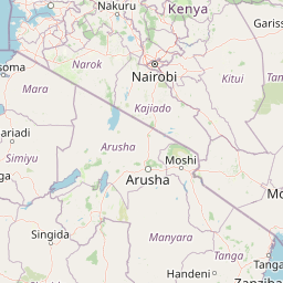
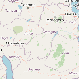
Distance from Tanzania to major cities are listed below, or choose from the list to calculate distance. 27 major city distances are calculated in Tanzania country. The GPS coordinates of Tanzania is 6° 22´ 8.5008'' S and 34° 53´ 19.7556'' E. Some of the leading cities of Tanzania are Dar es Salaam, Mwanza, Zanzibar.


Leaflet | © OpenStreetMap
Distances of Tanzania Cities
List of Tanzania cities with distance in kilometers.
Visit city distance page to calculate distance to all cities.
| City | Distance |
|---|---|
| Dar es Salaam to Mwanza | 853 km |
| Zanzibar to Arusha | 418 km |
| Mbeya to Morogoro | 518 km |
| Tanga to Dodoma | 391 km |
| Kigoma to Moshi | 871 km |
| Tabora to Songea | 703 km |
| Musoma to Iringa | 728 km |
| Shinyanga to Mtwara | 1047 km |
| Sumbawanga to Mpanda | 190 km |
| Bukoba to Singida | 506 km |
| Njombe to Lindi | 548 km |
| Geita to Babati | 425 km |
| Wete to Kibaha | 210 km |
| Chake Chake |
Click on the city name to list the sub cities within the major city, and calculate the distance between cities.