Distance Between Ukraine Cities
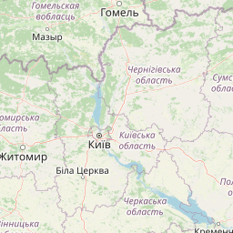
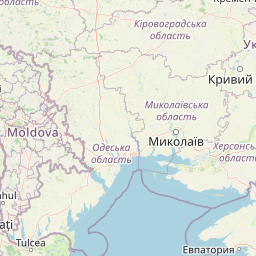
Distance from Ukraine to major cities are listed below, or choose from the list to calculate distance. 26 major city distances are calculated in Ukraine country. The GPS coordinates of Ukraine is 48° 22´ 45.9588'' N and 31° 9´ 56.0916'' E. Some of the leading cities of Ukraine are Kiev, Kharkiv, Dnipropetrovsk.


Leaflet | © OpenStreetMap
Distances of Ukraine Cities
List of Ukraine cities with distance in kilometers.
Visit city distance page to calculate distance to all cities.
| City | Distance |
|---|---|
| Kiev to Kharkiv | 411 km |
| Dnipropetrovsk to Donetsk | 214 km |
| Odessa to Zaporizhzhya | 369 km |
| L'viv to Mykolayiv | 669 km |
| Luhansk to Khmel'nyts'kyy | 903 km |
| Sevastopol to Simferopol | 62 km |
| Vinnytsya to Kherson | 421 km |
| Poltava to Chernihiv | 313 km |
| Cherkasy to Sumy | 256 km |
| Zhytomyr to Rivne | 178 km |
| Kirovohrad to Chernivtsi | 467 km |
| Ternopil' to Luts'k | 135 km |
| Ivano-Frankivs'k to Uzhhorod | 180 km |
The Nearest Neighboring Countries to Ukraine
Distance from Ukraine to the nearest countries.
The distance between Ukraine and the nearest country Moldova is 235 km.
| Country | Distance to Ukraine |
|---|---|
| Moldova | 235 km |
| Romania | 541 km |
| Belarus | 634 km |
| Bulgaria | 767 km |
| Slovakia | 844 km |
| Hungary | 881 km |
| Lithuania | 905 km |
| Serbia | 919 km |
| Poland | 941 km |
Click on the city name to list the sub cities within the major city, and calculate the distance between cities.