Distance Between Uruguay Cities
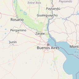
Distance from Uruguay to major cities are listed below, or choose from the list to calculate distance. 19 major city distances are calculated in Uruguay country. The GPS coordinates of Uruguay is 32° 31´ 22.0008'' S and 55° 45´ 57.0060'' W. Some of the leading cities of Uruguay are Montevideo, Salto, Paysandu.


Leaflet | © OpenStreetMap
Distances of Uruguay Cities
List of Uruguay cities with distance in kilometers.
Visit city distance page to calculate distance to all cities.
| City | Distance |
|---|---|
| Montevideo to Salto | 425 km |
| Paysandu to Rivera | 286 km |
| Maldonado to Tacuarembo | 365 km |
| Melo to Mercedes | 373 km |
| Artigas to Minas | 457 km |
| San Jose de Mayo to Durazno | 105 km |
| Florida to Treinta y Tres | 195 km |
| Rocha to Fray Bentos | 396 km |
| Colonia del Sacramento to Trinidad | 136 km |
| Canelones |
Click on the city name to list the sub cities within the major city, and calculate the distance between cities.