Distance Calculator

Distance Between Zimbabwe Cities

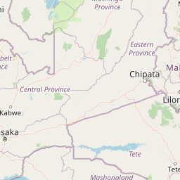
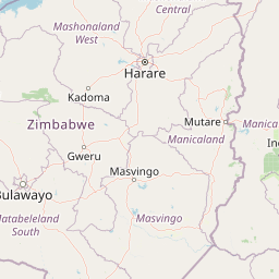
Distance from Zimbabwe to major cities are listed below, or choose from the list to calculate distance. 8 major city distances are calculated in Zimbabwe country. The GPS coordinates of Zimbabwe is 19° 0´ 55.5768'' S and 29° 9´ 17.4888'' E. Some of the leading cities of Zimbabwe are Harare, Bulawayo, Mutare.
Calculate Distance Between Cities

Distances of Zimbabwe Cities

List of Zimbabwe cities with distance in kilometers.
Visit city distance page to calculate distance to all cities.

CityDistance
Harare to Bulawayo366 km
Mutare to Gweru304 km
Masvingo to Chinhoyi307 km
Marondera to Bindura101 km

The Nearest Neighboring Countries to Zimbabwe

Distance from Zimbabwe to the nearest countries.
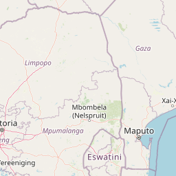
The distance between Zimbabwe and the nearest country Botswana is 593 km.

CountryDistance to Zimbabwe
Botswana593 km
Zambia669 km
Mozambique672 km
Malawi844 km
Swaziland868 km

Click on the city name to list the sub cities within the major city, and calculate the distance between cities.