Distance from Aachen to Brakel
Distance between Aachen and Brakel is 240 kilometers (149 miles).
Driving distance from Aachen to Brakel is 285 kilometers (177 miles).
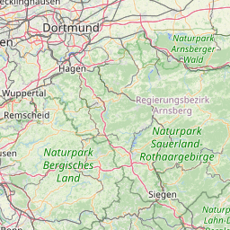
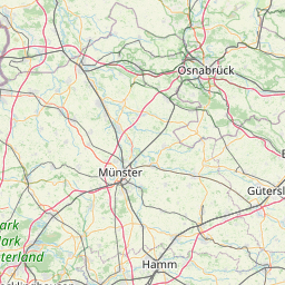
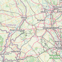
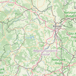
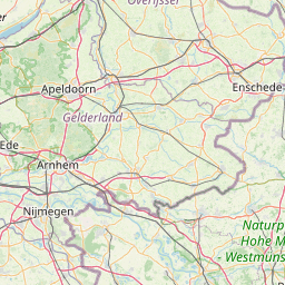
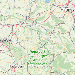
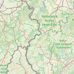
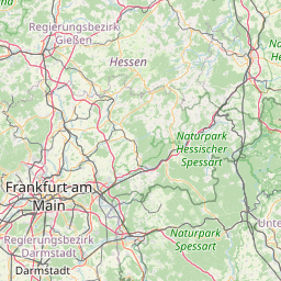
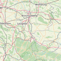
Distance Map Between Aachen and Brakel
Aachen, Dusseldorf, Germany ↔ Brakel, Dusseldorf, Germany = 149 miles = 240 km.


How far is it between Aachen and Brakel
Aachen is located in Germany with (50.7766,6.0834) coordinates and Brakel is located in Germany with (51.7175,9.186) coordinates. The calculated flying distance from Aachen to Brakel is equal to 149 miles which is equal to 240 km.
If you want to go by car, the driving distance between Aachen and Brakel is 284.68 km. If you ride your car with an average speed of 112 kilometers/hour (70 miles/h), travel time will be 02 hours 32 minutes. Please check the avg. speed travel time table on the right for various options.
Difference between fly and go by a car is 45 km.
| City/Place | Latitude and Longitude | GPS Coordinates |
|---|---|---|
| Aachen | 50.7766, 6.0834 | 50° 46´ 35.9040'' N 6° 5´ 0.3120'' E |
| Brakel | 51.7175, 9.186 | 51° 43´ 3.0000'' N 9° 11´ 9.4560'' E |
Estimated Travel Time Between Aachen and Brakel
| Average Speed | Travel Time |
|---|---|
| 30 mph (48 km/h) | 05 hours 55 minutes |
| 40 mph (64 km/h) | 04 hours 26 minutes |
| 50 mph (80 km/h) | 03 hours 33 minutes |
| 60 mph (97 km/h) | 02 hours 56 minutes |
| 70 mph (112 km/h) | 02 hours 32 minutes |
| 75 mph (120 km/h) | 02 hours 22 minutes |
Related Distances from Aachen
| Cities | Distance |
|---|---|
| Aachen to Koeln | 74 km |
| Aachen to Dortmund | 160 km |
| Aachen to Essen | 129 km |
| Aachen to Bonn | 94 km |
| Aachen to Dueren | 37 km |
Related Distances to Brakel
| Cities | Distance |
|---|---|
| Aachen to Brakel | 285 km |
| Bielefeld to Brakel | 89 km |
| Bocholt to Brakel | 236 km |
| Bergheim to Brakel | 245 km |
| Bonn to Brakel | 245 km |