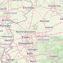
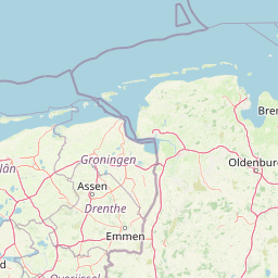
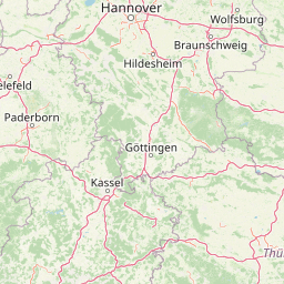
Distance from Aachen to Ibbenburen
Distance between Aachen and Ibbenburen is 202 kilometers (125 miles).
Driving distance from Aachen to Ibbenburen is 259 kilometers (161 miles).
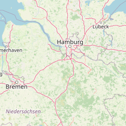
Distance Map Between Aachen and Ibbenburen
Aachen, Dusseldorf, Germany ↔ Ibbenburen, Dusseldorf, Germany = 125 miles = 202 km.


How far is it between Aachen and Ibbenbüren
Aachen is located in Germany with (50.7766,6.0834) coordinates and Ibbenburen is located in Germany with (52.2796,7.7146) coordinates. The calculated flying distance from Aachen to Ibbenburen is equal to 125 miles which is equal to 202 km.
If you want to go by car, the driving distance between Aachen and Ibbenburen is 258.75 km. If you ride your car with an average speed of 112 kilometers/hour (70 miles/h), travel time will be 02 hours 18 minutes. Please check the avg. speed travel time table on the right for various options.
Difference between fly and go by a car is 57 km.
| City/Place | Latitude and Longitude | GPS Coordinates |
|---|---|---|
| Aachen | 50.7766, 6.0834 | 50° 46´ 35.9040'' N 6° 5´ 0.3120'' E |
| Ibbenburen | 52.2796, 7.7146 | 52° 16´ 46.7040'' N 7° 42´ 52.4520'' E |
Estimated Travel Time Between Aachen and Ibbenbüren
| Average Speed | Travel Time |
|---|---|
| 30 mph (48 km/h) | 05 hours 23 minutes |
| 40 mph (64 km/h) | 04 hours 02 minutes |
| 50 mph (80 km/h) | 03 hours 14 minutes |
| 60 mph (97 km/h) | 02 hours 40 minutes |
| 70 mph (112 km/h) | 02 hours 18 minutes |
| 75 mph (120 km/h) | 02 hours 09 minutes |
Related Distances from Aachen
| Cities | Distance |
|---|---|
| Aachen to Koeln | 74 km |
| Aachen to Dortmund | 160 km |
| Aachen to Essen | 129 km |
| Aachen to Bonn | 94 km |
| Aachen to Dueren | 37 km |
Related Distances to Ibbenburen
| Cities | Distance |
|---|---|
| Gronau to Ibbenburen | 65 km |
| Dortmund to Ibbenburen | 107 km |
| Aachen to Ibbenburen | 259 km |
| Bottrop to Ibbenburen | 135 km |
| Bonn to Ibbenburen | 217 km |