Distance from Aalst to Beersel
Distance between Aalst and Beersel is 27 kilometers (16 miles).
Distance Map Between Aalst and Beersel
Aalst, , Belgium ↔ Beersel, , Belgium = 16 miles = 27 km.
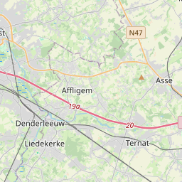
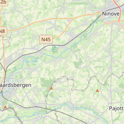
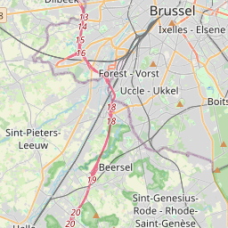
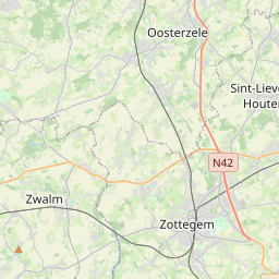
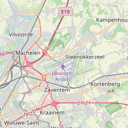
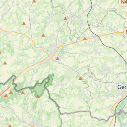
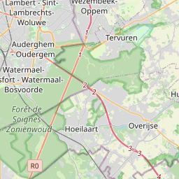

Leaflet | © OpenStreetMap
How far is it between Aalst and Beersel
Aalst is located in Belgium with (50.936,4.0355) coordinates and Beersel is located in Belgium with (50.7659,4.3002) coordinates. The calculated flying distance from Aalst to Beersel is equal to 16 miles which is equal to 27 km.
| City/Place | Latitude and Longitude | GPS Coordinates |
|---|---|---|
| Aalst | 50.936, 4.0355 | 50° 56´ 9.7440'' N 4° 2´ 7.8000'' E |
| Beersel | 50.7659, 4.3002 | 50° 45´ 57.2040'' N 4° 18´ 0.7200'' E |
Aalst, , Belgium
Related Distances from Aalst
| Cities | Distance |
|---|---|
| Aalst to Gent | 33 km |
| Aalst to Tessenderlo | 100 km |
| Aalst to Tielt | 61 km |
| Aalst to Hamme | 25 km |
| Aalst to Turnhout | 115 km |
Beersel, , Belgium
Related Distances to Beersel
| Cities | Distance |
|---|---|
| Asse to Beersel | 23 km |
| Antwerpen to Beersel | 58 km |
| Aalter to Beersel | 80 km |
| Beerse to Beersel | 94 km |
| Aarschot to Beersel | 67 km |