Distance from Aalst to Ieper
Distance between Aalst and Ieper is 81 kilometers (50 miles).
Driving distance from Aalst to Ieper is 99 kilometers (61 miles).
Distance Map Between Aalst and Ieper
Aalst, , Belgium ↔ Ieper, , Belgium = 50 miles = 81 km.


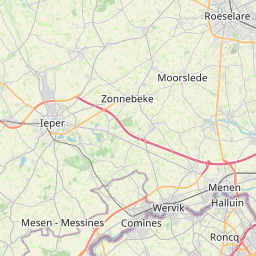


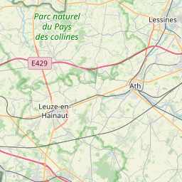
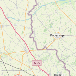

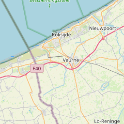


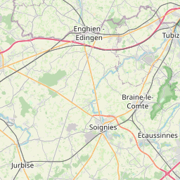

Leaflet | © OpenStreetMap
How far is it between Aalst and Ieper
Aalst is located in Belgium with (50.936,4.0355) coordinates and Ieper is located in Belgium with (50.8511,2.8857) coordinates. The calculated flying distance from Aalst to Ieper is equal to 50 miles which is equal to 81 km.
If you want to go by car, the driving distance between Aalst and Ieper is 98.6 km. If you ride your car with an average speed of 112 kilometers/hour (70 miles/h), travel time will be 00 hours 52 minutes. Please check the avg. speed travel time table on the right for various options.
Difference between fly and go by a car is 18 km.
| City/Place | Latitude and Longitude | GPS Coordinates |
|---|---|---|
| Aalst | 50.936, 4.0355 | 50° 56´ 9.7440'' N 4° 2´ 7.8000'' E |
| Ieper | 50.8511, 2.8857 | 50° 51´ 4.1040'' N 2° 53´ 8.4840'' E |
Estimated Travel Time Between Aalst and Ieper
| Average Speed | Travel Time |
|---|---|
| 30 mph (48 km/h) | 02 hours 03 minutes |
| 40 mph (64 km/h) | 01 hours 32 minutes |
| 50 mph (80 km/h) | 01 hours 13 minutes |
| 60 mph (97 km/h) | 01 hours 00 minutes |
| 70 mph (112 km/h) | 00 hours 52 minutes |
| 75 mph (120 km/h) | 00 hours 49 minutes |
Aalst, , Belgium
Related Distances from Aalst
| Cities | Distance |
|---|---|
| Aalst to Gent | 33 km |
| Aalst to Tessenderlo | 100 km |
| Aalst to Tielt | 61 km |
| Aalst to Hamme | 25 km |
| Aalst to Turnhout | 115 km |
Ieper, , Belgium
Related Distances to Ieper
| Cities | Distance |
|---|---|
| Gent to Ieper | 78 km |
| Brugge to Ieper | 69 km |
| Genk to Ieper | 217 km |
| Halle to Ieper | 123 km |
| Houthalen to Ieper | 206 km |