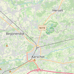
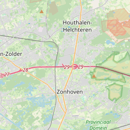
Distance from Aarschot to Zonhoven
Distance between Aarschot and Zonhoven is 37 kilometers (23 miles).
Driving distance from Aarschot to Zonhoven is 47 kilometers (29 miles).
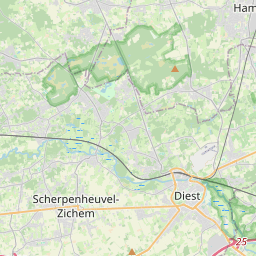
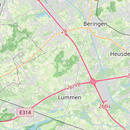
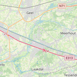
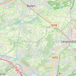
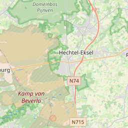
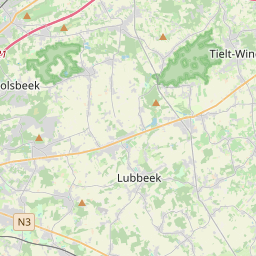
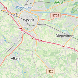
Distance Map Between Aarschot and Zonhoven
Aarschot, , Belgium ↔ Zonhoven, , Belgium = 23 miles = 37 km.


How far is it between Aarschot and Zonhoven
Aarschot is located in Belgium with (50.9872,4.837) coordinates and Zonhoven is located in Belgium with (50.9906,5.3682) coordinates. The calculated flying distance from Aarschot to Zonhoven is equal to 23 miles which is equal to 37 km.
If you want to go by car, the driving distance between Aarschot and Zonhoven is 47.26 km. If you ride your car with an average speed of 112 kilometers/hour (70 miles/h), travel time will be 00 hours 25 minutes. Please check the avg. speed travel time table on the right for various options.
Difference between fly and go by a car is 10 km.
| City/Place | Latitude and Longitude | GPS Coordinates |
|---|---|---|
| Aarschot | 50.9872, 4.837 | 50° 59´ 13.7400'' N 4° 50´ 13.0200'' E |
| Zonhoven | 50.9906, 5.3682 | 50° 59´ 26.3040'' N 5° 22´ 5.4840'' E |
Estimated Travel Time Between Aarschot and Zonhoven
| Average Speed | Travel Time |
|---|---|
| 30 mph (48 km/h) | 00 hours 59 minutes |
| 40 mph (64 km/h) | 00 hours 44 minutes |
| 50 mph (80 km/h) | 00 hours 35 minutes |
| 60 mph (97 km/h) | 00 hours 29 minutes |
| 70 mph (112 km/h) | 00 hours 25 minutes |
| 75 mph (120 km/h) | 00 hours 23 minutes |
Related Distances from Aarschot
| Cities | Distance |
|---|---|
| Aarschot to Antwerpen | 55 km |
| Aarschot to Asse | 59 km |
| Aarschot to Balen | 39 km |
| Aarschot to Beerse | 44 km |
| Aarschot to Beersel | 67 km |
| Aarschot to Beringen | 39 km |
| Aarschot to Beveren | 89 km |
| Aarschot to Bilzen | 62 km |
| Aarschot to Blankenberge | 154 km |
| Aarschot to Boom | 68 km |
Related Distances to Zonhoven
| Cities | Distance |
|---|---|
| Brasschaat to Zonhoven | 88 km |
| Gent to Zonhoven | 142 km |
| Westerlo to Zonhoven | 45 km |
| Sint Truiden to Zonhoven | 28 km |
| Harelbeke to Zonhoven | 174 km |
| Knokke Heist to Zonhoven | 172 km |
| Leuven to Zonhoven | 58 km |
| Zwevegem to Zonhoven | 177 km |
| Geel to Zonhoven | 47 km |
| Aalst to Zonhoven | 114 km |