Distance from Aba to Ippy
Distance between Aba and Ippy is 1539 kilometers (956 miles).
Driving distance from Aba to Ippy is 2247 kilometers (1396 miles).
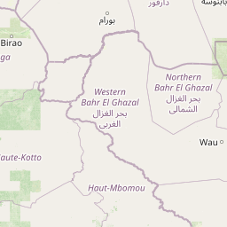
Distance Map Between Aba and Ippy
Aba, Umuahia, Nigeria ↔ Ippy, Bambari, Central African Republic = 956 miles = 1539 km.


How far is it between Aba and Ippy
Aba is located in Nigeria with (5.1066,7.3667) coordinates and Ippy is located in Central African Republic with (6.2679,21.2247) coordinates. The calculated flying distance from Aba to Ippy is equal to 956 miles which is equal to 1539 km.
If you want to go by car, the driving distance between Aba and Ippy is 2246.85 km. If you ride your car with an average speed of 112 kilometers/hour (70 miles/h), travel time will be 20 hours 03 minutes. Please check the avg. speed travel time table on the right for various options.
Difference between fly and go by a car is 708 km.
| City/Place | Latitude and Longitude | GPS Coordinates |
|---|---|---|
| Aba | 5.1066, 7.3667 | 5° 6´ 23.6880'' N 7° 22´ 0.0120'' E |
| Ippy | 6.2679, 21.2247 | 6° 16´ 4.5480'' N 21° 13´ 28.8480'' E |
Estimated Travel Time Between Aba and Ippy
| Average Speed | Travel Time |
|---|---|
| 30 mph (48 km/h) | 46 hours 48 minutes |
| 40 mph (64 km/h) | 35 hours 06 minutes |
| 50 mph (80 km/h) | 28 hours 05 minutes |
| 60 mph (97 km/h) | 23 hours 09 minutes |
| 70 mph (112 km/h) | 20 hours 03 minutes |
| 75 mph (120 km/h) | 18 hours 43 minutes |
Related Distances from Aba
| Cities | Distance |
|---|---|
| Aba to Nola | 1438 km |
| Aba to Bangui | 1850 km |
| Aba to Bimbo | 1781 km |
| Aba to Bria | 2208 km |
| Aba to Sibut | 2026 km |
Related Distances to Ippy
| Cities | Distance |
|---|---|
| Jos to Ippy | 1963 km |
| Port Harcourt to Ippy | 2327 km |
| Aba to Ippy | 2247 km |
| Kano to Ippy | 1983 km |
| Zaria to Ippy | 2113 km |