Distance from Aberdare to Carmarthen
Distance between Aberdare and Carmarthen is 61 kilometers (38 miles).
Driving distance from Aberdare to Carmarthen is 82 kilometers (51 miles).
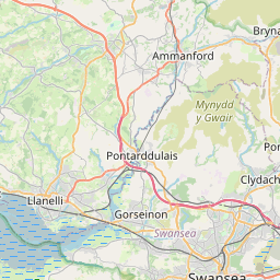
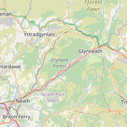
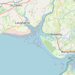
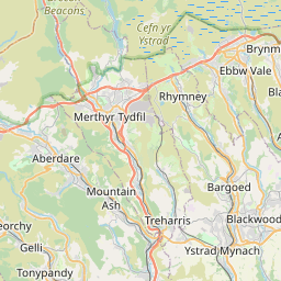
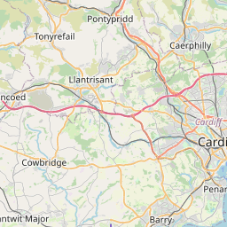
Distance Map Between Aberdare and Carmarthen
Aberdare, Cardiff, United Kingdom ↔ Carmarthen, Cardiff, United Kingdom = 38 miles = 61 km.


How far is it between Aberdare and Carmarthen
Aberdare is located in United Kingdom with (51.7144,-3.4492) coordinates and Carmarthen is located in United Kingdom with (51.8555,-4.3054) coordinates. The calculated flying distance from Aberdare to Carmarthen is equal to 38 miles which is equal to 61 km.
If you want to go by car, the driving distance between Aberdare and Carmarthen is 81.88 km. If you ride your car with an average speed of 112 kilometers/hour (70 miles/h), travel time will be 00 hours 43 minutes. Please check the avg. speed travel time table on the right for various options.
Difference between fly and go by a car is 21 km.
| City/Place | Latitude and Longitude | GPS Coordinates |
|---|---|---|
| Aberdare | 51.7144, -3.4492 | 51° 42´ 51.7680'' N 3° 26´ 57.0480'' W |
| Carmarthen | 51.8555, -4.3054 | 51° 51´ 19.8720'' N 4° 18´ 19.2600'' W |
Estimated Travel Time Between Aberdare and Carmarthen
| Average Speed | Travel Time |
|---|---|
| 30 mph (48 km/h) | 01 hours 42 minutes |
| 40 mph (64 km/h) | 01 hours 16 minutes |
| 50 mph (80 km/h) | 01 hours 01 minutes |
| 60 mph (97 km/h) | 00 hours 50 minutes |
| 70 mph (112 km/h) | 00 hours 43 minutes |
| 75 mph (120 km/h) | 00 hours 40 minutes |
Related Distances from Aberdare
| Cities | Distance |
|---|---|
| Aberdare to Merthyr Tydfil | 12 km |
| Aberdare to Swansea | 48 km |
| Aberdare to Pontypridd | 20 km |
| Aberdare to Carmarthen | 82 km |
| Aberdare to Llanelli | 62 km |
Related Distances to Carmarthen
| Cities | Distance |
|---|---|
| Aberystwyth to Carmarthen | 75 km |
| Bridgend to Carmarthen | 80 km |
| Aberdare to Carmarthen | 82 km |
| Barry to Carmarthen | 110 km |
| Bangor 3 to Carmarthen | 210 km |