Distance from Abu Road to Sanchor
Distance between Abu Road and Sanchor is 106 kilometers (66 miles).
Driving distance from Abu Road to Sanchor is 129 kilometers (80 miles).
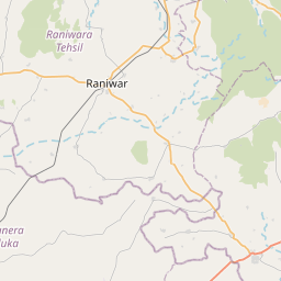
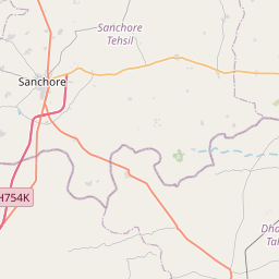
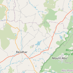
Distance Map Between Abu Road and Sanchor
Abu Road, Jaipur, India ↔ Sanchor, Jaipur, India = 66 miles = 106 km.


How far is it between Ābu Road and Sānchor
Abu Road is located in India with (24.4801,72.7819) coordinates and Sanchor is located in India with (24.7536,71.7728) coordinates. The calculated flying distance from Abu Road to Sanchor is equal to 66 miles which is equal to 106 km.
If you want to go by car, the driving distance between Abu Road and Sanchor is 129.11 km. If you ride your car with an average speed of 112 kilometers/hour (70 miles/h), travel time will be 01 hours 09 minutes. Please check the avg. speed travel time table on the right for various options.
Difference between fly and go by a car is 23 km.
| City/Place | Latitude and Longitude | GPS Coordinates |
|---|---|---|
| Abu Road | 24.4801, 72.7819 | 24° 28´ 48.4320'' N 72° 46´ 54.6960'' E |
| Sanchor | 24.7536, 71.7728 | 24° 45´ 12.9960'' N 71° 46´ 22.0800'' E |
Estimated Travel Time Between Ābu Road and Sānchor
| Average Speed | Travel Time |
|---|---|
| 30 mph (48 km/h) | 02 hours 41 minutes |
| 40 mph (64 km/h) | 02 hours 01 minutes |
| 50 mph (80 km/h) | 01 hours 36 minutes |
| 60 mph (97 km/h) | 01 hours 19 minutes |
| 70 mph (112 km/h) | 01 hours 09 minutes |
| 75 mph (120 km/h) | 01 hours 04 minutes |
Related Distances from Abu Road
| Cities | Distance |
|---|---|
| Abu Road to Udaipur | 152 km |
| Abu Road to Sirohi | 75 km |
| Abu Road to Bhinmal | 102 km |
| Abu Road to Sheoganj | 113 km |
| Abu Road to Sadri | 160 km |
Related Distances to Sanchor
| Cities | Distance |
|---|---|
| Jodhpur to Sanchor | 263 km |
| Jaisalmer to Sanchor | 292 km |
| Bikaner to Sanchor | 496 km |
| Abu Road to Sanchor | 129 km |
| Balotra to Sanchor | 163 km |