Distance from Adelaide to Sydney
Distance between Adelaide and Sydney is 1162 kilometers (722 miles).
Driving distance from Adelaide to Sydney is 1375 kilometers (854 miles).
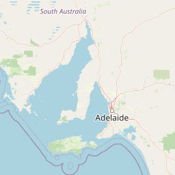
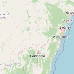
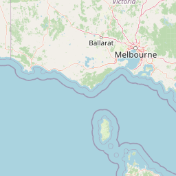
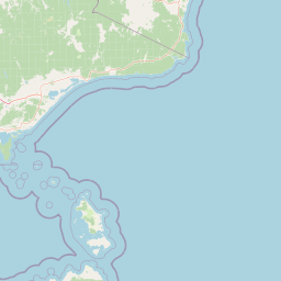
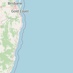
Distance Map Between Adelaide and Sydney
Adelaide, Australia ↔ Sydney, Australia = 722 miles = 1162 km.


How far is it between Adelaide and Sydney
Adelaide is located in Australia with (-34.9287,138.5986) coordinates and Sydney is located in Australia with (-33.8679,151.2073) coordinates. The calculated flying distance from Adelaide to Sydney is equal to 722 miles which is equal to 1162 km.
If you want to go by car, the driving distance between Adelaide and Sydney is 1374.74 km. If you ride your car with an average speed of 112 kilometers/hour (70 miles/h), travel time will be 12 hours 16 minutes. Please check the avg. speed travel time table on the right for various options.
Difference between fly and go by a car is 213 km.
| City/Place | Latitude and Longitude | GPS Coordinates |
|---|---|---|
| Adelaide | -34.9287, 138.5986 | 34° 55´ 43.1760'' S 138° 35´ 55.0680'' E |
| Sydney | -33.8679, 151.2073 | 33° 52´ 4.2600'' S 151° 12´ 26.3520'' E |
Estimated Travel Time Between Adelaide and Sydney
| Average Speed | Travel Time |
|---|---|
| 30 mph (48 km/h) | 28 hours 38 minutes |
| 40 mph (64 km/h) | 21 hours 28 minutes |
| 50 mph (80 km/h) | 17 hours 11 minutes |
| 60 mph (97 km/h) | 14 hours 10 minutes |
| 70 mph (112 km/h) | 12 hours 16 minutes |
| 75 mph (120 km/h) | 11 hours 27 minutes |
Related Distances from Adelaide
| Cities | Distance |
|---|---|
| Adelaide to Melbourne | 727 km |
| Adelaide to Sydney | 1375 km |
| Adelaide to Perth | 2691 km |
| Adelaide to Darwin | 3027 km |
| Adelaide to Mount Gambier | 434 km |
Related Distances to Sydney
| Cities | Distance |
|---|---|
| Melbourne to Sydney | 878 km |
| Perth to Sydney | 3935 km |
| Brisbane to Sydney | 921 km |
| Canberra to Sydney | 287 km |
| Adelaide to Sydney | 1375 km |