Distance from Adelanto to Mexicali
Distance between Adelanto and Mexicali is 283 kilometers (176 miles).
Driving distance from Adelanto to Mexicali is 346 kilometers (215 miles).
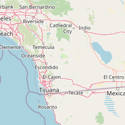
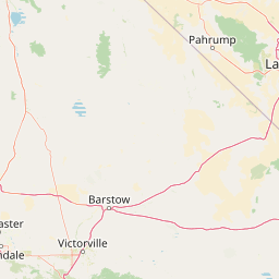
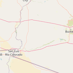
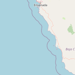
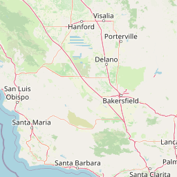
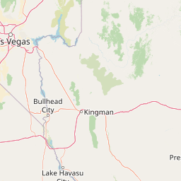
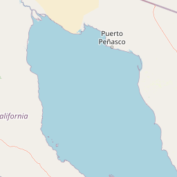
Distance Map Between Adelanto and Mexicali
Adelanto, Sacramento, United States ↔ Mexicali, Mexico = 176 miles = 283 km.


How far is it between Adelanto and Mexicali
Adelanto is located in United States with (34.5828,-117.4092) coordinates and Mexicali is located in Mexico with (32.6278,-115.4545) coordinates. The calculated flying distance from Adelanto to Mexicali is equal to 176 miles which is equal to 283 km.
If you want to go by car, the driving distance between Adelanto and Mexicali is 345.75 km. If you ride your car with an average speed of 112 kilometers/hour (70 miles/h), travel time will be 03 hours 05 minutes. Please check the avg. speed travel time table on the right for various options.
Difference between fly and go by a car is 63 km.
| City/Place | Latitude and Longitude | GPS Coordinates |
|---|---|---|
| Adelanto | 34.5828, -117.4092 | 34° 34´ 57.9720'' N 117° 24´ 33.1920'' W |
| Mexicali | 32.6278, -115.4545 | 32° 37´ 40.1160'' N 115° 27´ 16.0560'' W |
Estimated Travel Time Between Adelanto and Mexicali
| Average Speed | Travel Time |
|---|---|
| 30 mph (48 km/h) | 07 hours 12 minutes |
| 40 mph (64 km/h) | 05 hours 24 minutes |
| 50 mph (80 km/h) | 04 hours 19 minutes |
| 60 mph (97 km/h) | 03 hours 33 minutes |
| 70 mph (112 km/h) | 03 hours 05 minutes |
| 75 mph (120 km/h) | 02 hours 52 minutes |
Related Distances from Adelanto
| Cities | Distance |
|---|---|
| Adelanto to Aguascalientes | 2422 km |
| Adelanto to Chihuahua | 1470 km |
| Adelanto to Ciudad Juarez | 1274 km |
| Adelanto to Ciudad Lopez Mateos | 3059 km |
| Adelanto to Culiacan | 1748 km |
| Adelanto to Ecatepec | 2893 km |
| Adelanto to Guadalajara | 2440 km |
| Adelanto to Gustavo A Madero 2 | 3004 km |
| Adelanto to Leon | 2551 km |
| Adelanto to Mexicali | 346 km |
Related Distances to Mexicali
| Cities | Distance |
|---|---|
| Redmond 2 to Mexicali | 1709 km |
| Albuquerque to Mexicali | 1058 km |
| Adelanto to Mexicali | 346 km |
| Sacramento to Mexicali | 983 km |
| Arden Arcade to Mexicali | 998 km |
| Visalia to Mexicali | 670 km |
| Loveland to Mexicali | 1794 km |
| Salt Lake City to Mexicali | 1191 km |
| Bullhead City to Mexicali | 372 km |
| Denver to Mexicali | 1719 km |